In today’s mail, I received my new voter’s registration card with my updated precincts. I have lived at this same address for nearly two decades and I’ve lost count how many times one district or another has changed, bumping us into an area that is represented by someone who resides further away.
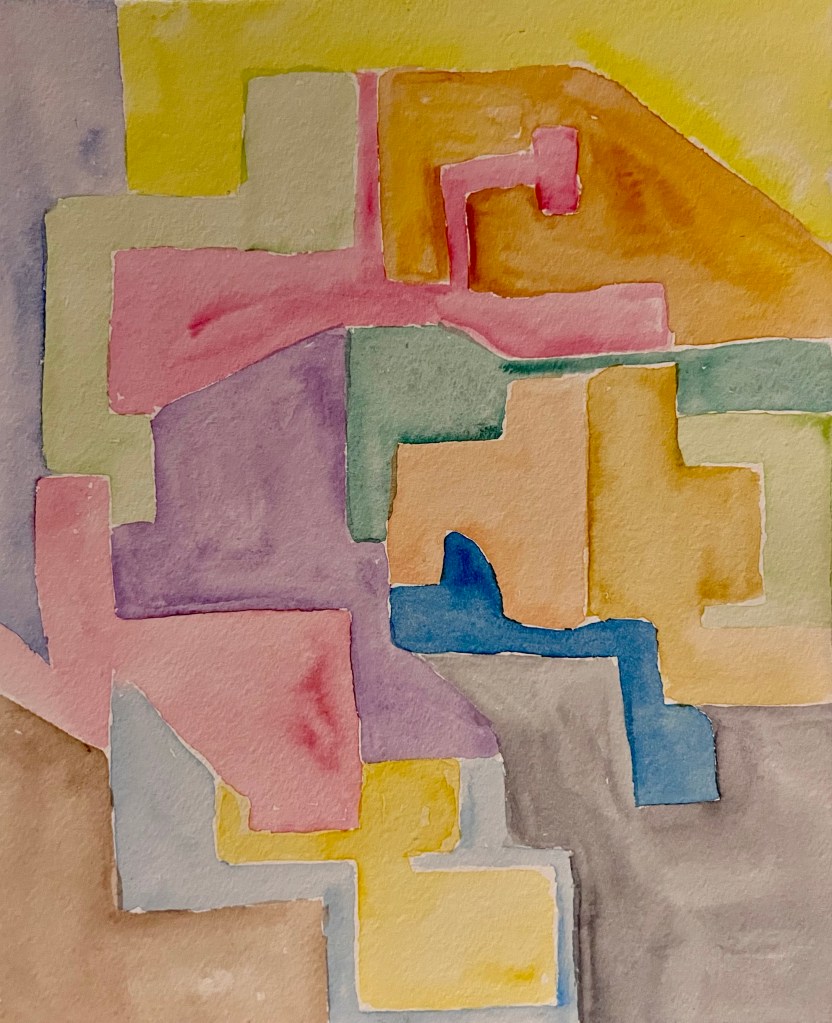
This got me thinking of the gerrymandered voting maps and inspired my painting this evening. These are fairly wild when you look at them but sadly my map is probably pretty tame compared to real life maps. A couple of years ago my congressional district was really elongated with a blocks width isthmus connecting my city with another city 20 minutes up the freeway clear into a different county.
Do you have crazy looking voting district maps in your area?

Leave a comment